
Surveying
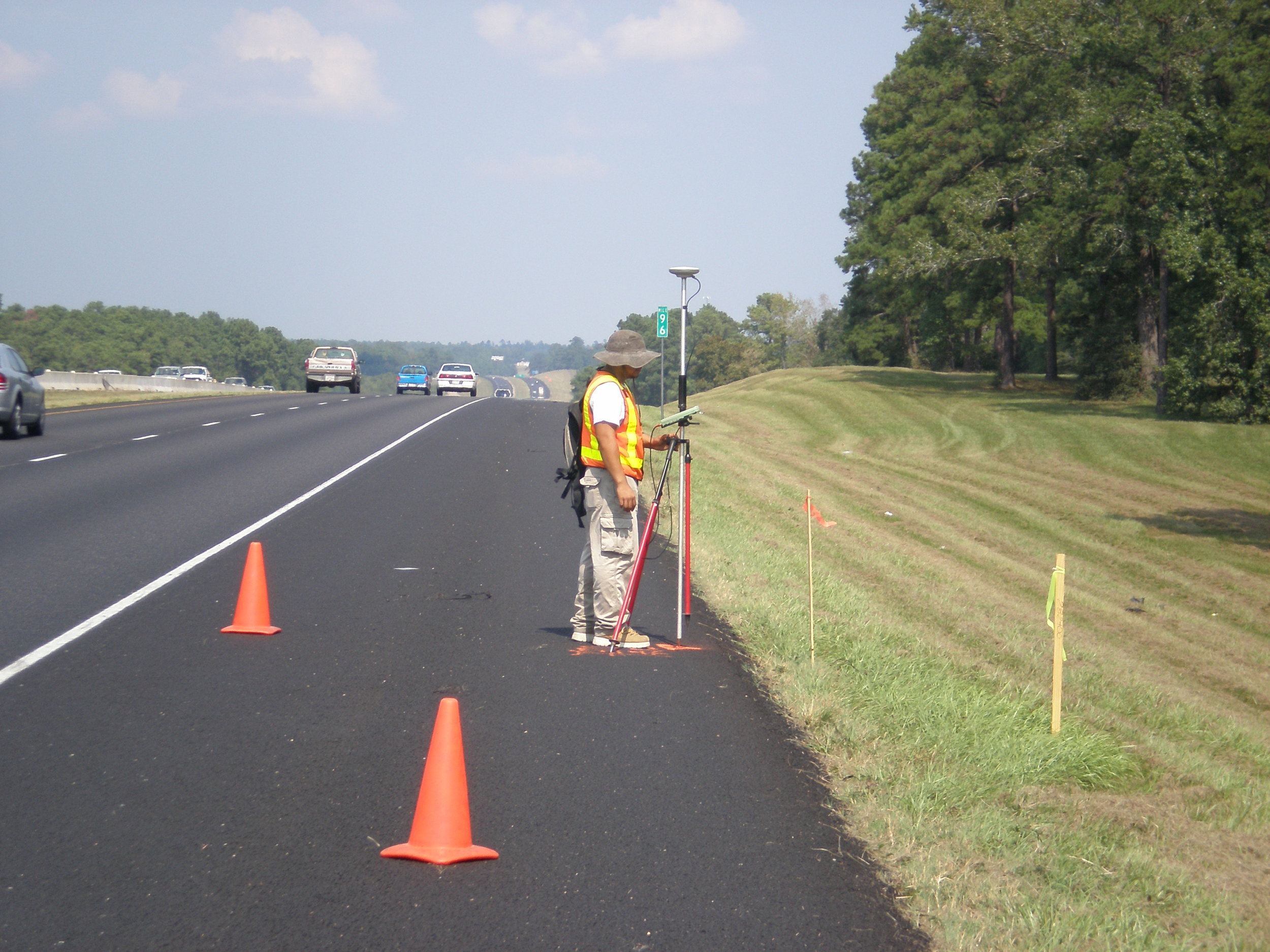
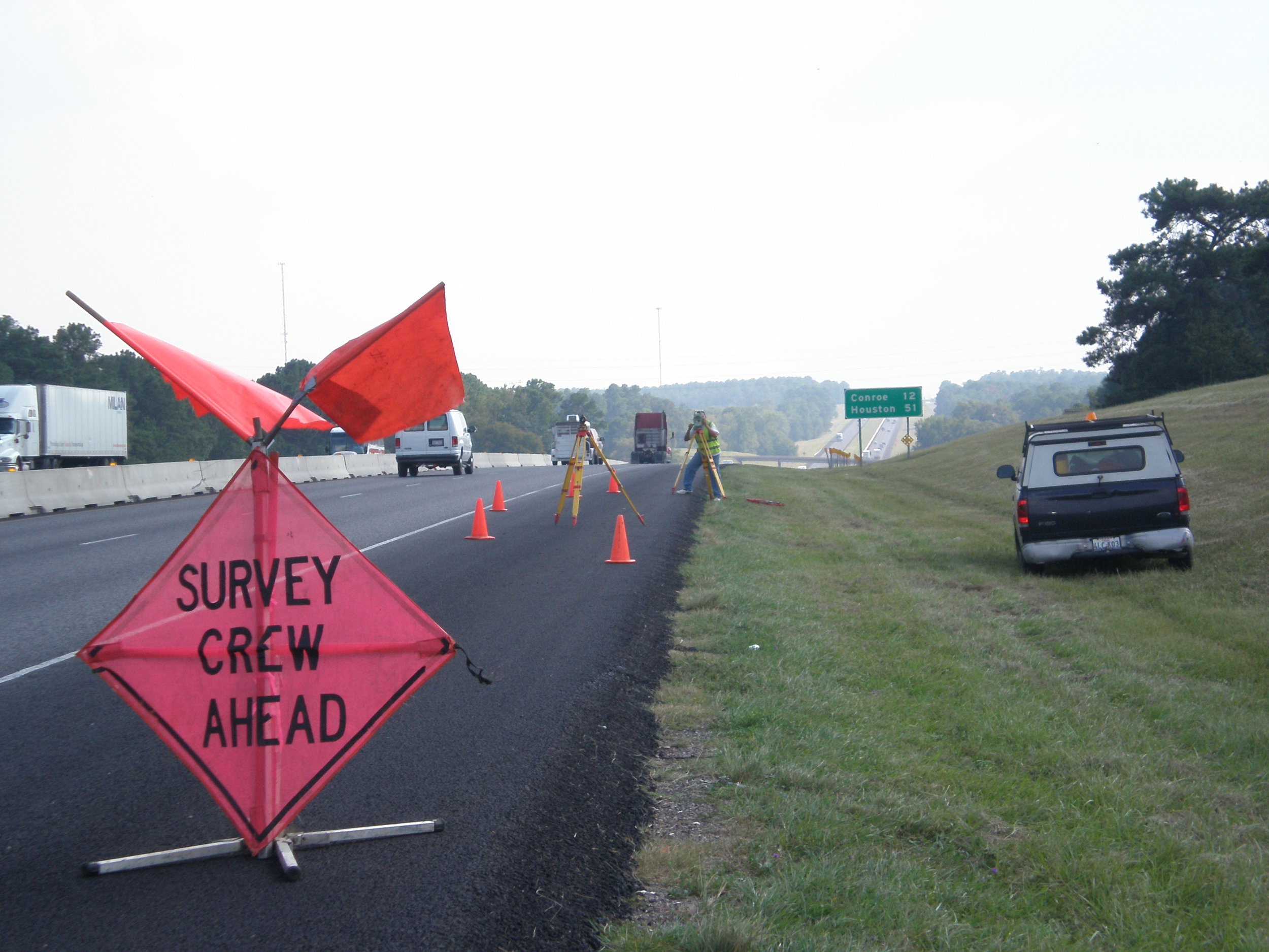
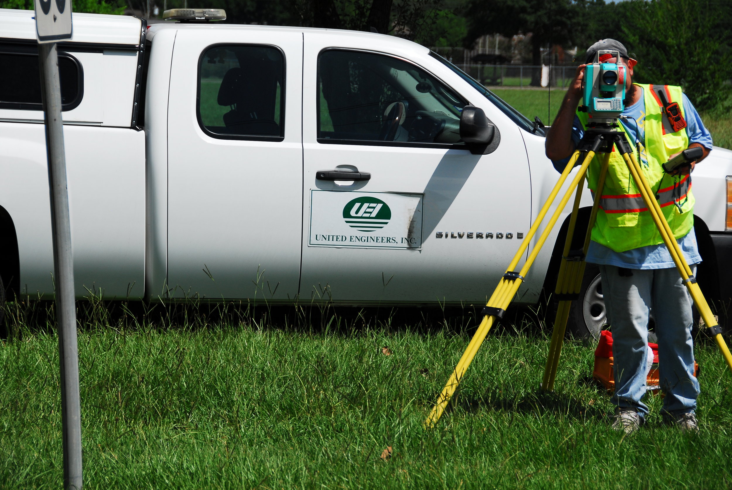
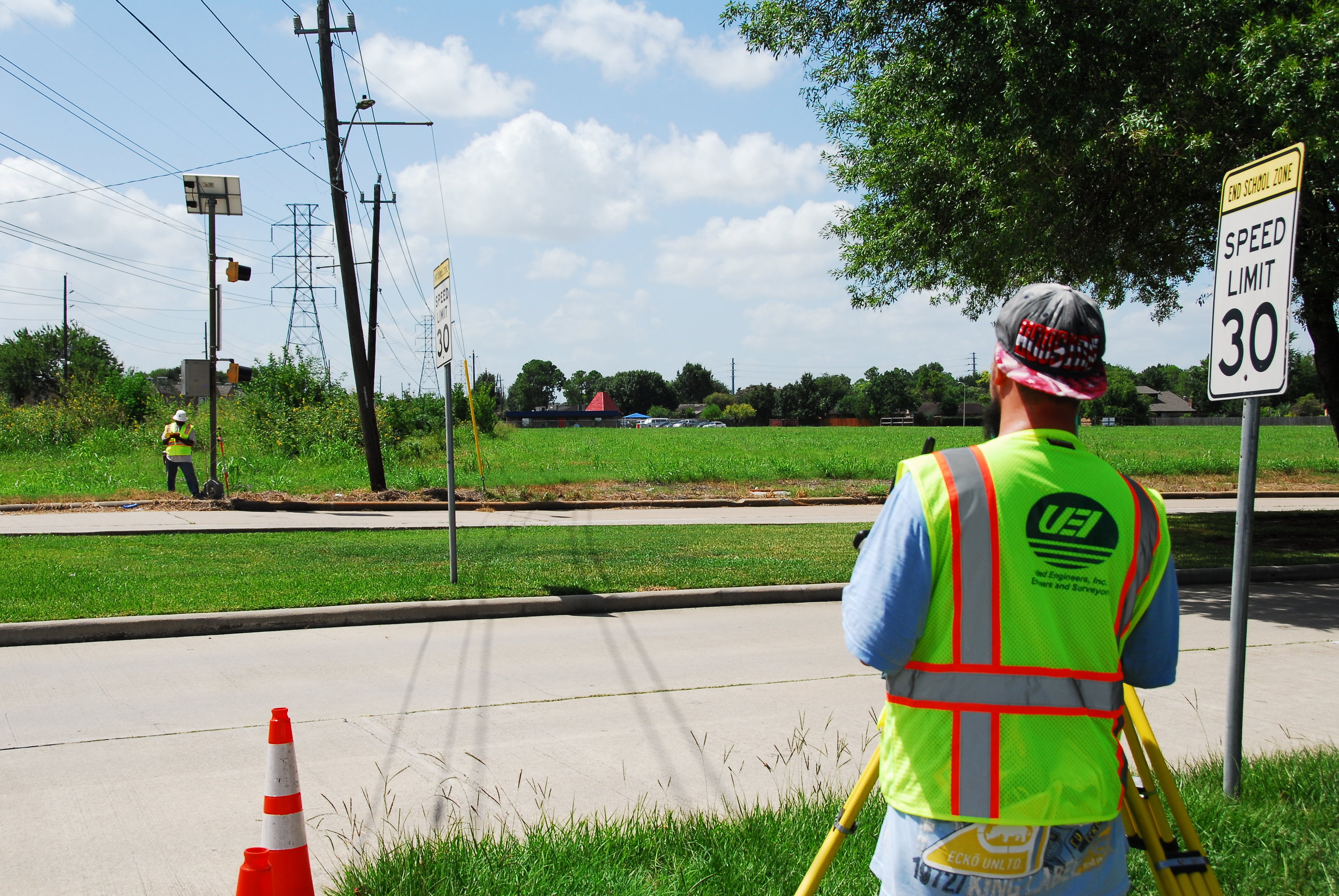
United Engineers' Surveying Department provides comprehensive land surveying services, including boundary, topographic, route, construction, control, engineering design and special application surveys for internal and external clients. The firm has fully equipped field crews and owns/maintains state-of-the-art surveying equipment including electronic total stations with data collectors running TDS Survey Pro software. Each crew is lead by an experienced party chief and supervised by a Registered Professional Land Surveyor. UEI routinely provides surveying services to engineering and architecture firms retained by private entities and local government in association with capital improvement projects. The surveying services typically consist of base planimetric surveys for design engineering, topographies, boundary surveys, GPS, control monumentation, route surveys, parcel plats and legal descriptions for right-of-way or easement acquisition.
The surveying teams are experienced in preparing route surveys for transportation and utility cooridoors. UEI has provided route surveys along all types of highways for utilities and pipelines on cross-country routes. The surveys have been used to acquire easements and fee simple title for placement and utilities. UEI's topographic surveying has been prepared to include elevations, digital terrain models, tree inventories, stream cross sections, existing facilities, utilities, and other infrastructure. The surveys are used for design of new improvements and additions to existing facilities. These surveys are used to prepare complete plans and profile drawings for design purposes.
Our Surveying Department has extensive, proven surveying experience in the following fields/services:
- ALTA/ASCM and TSPS Boundary Surveys
- As-Built Surveys
- Construction Surveys and Staking
- Conventional Horizontal and Vertical Control Surveys
- Engineering Design Surveys
- Global Positioning Services
- Profiles and Cross-Section Surveys
- Title Surveys
- Topographic Surveys for Public Infrastructure
- FEMA Elevation Surveys
- Real-time GPS and Conventional Topographic Surveying and Mapping
- Right-of-Way Surveying and Mapping
- Subdivision Design and Platting
- Utility Surveys
- Hydraulics and Hydrology studies
- Site development